"And if flying, like a glass-bottomed bucket, can give you that vision, that seeing eye, which peers down on the still world below - it will always remain magic."
Anne Morrow Lindbergh
Kinetic & Momentum | Pool Deck & TerraceWDG Architecture
Kinetic & MomentumWDG Architecture
Kinetic & Momentum | TerraceWDG Architecture
Kinetic & Momentum | South FacadesWDG Architecture
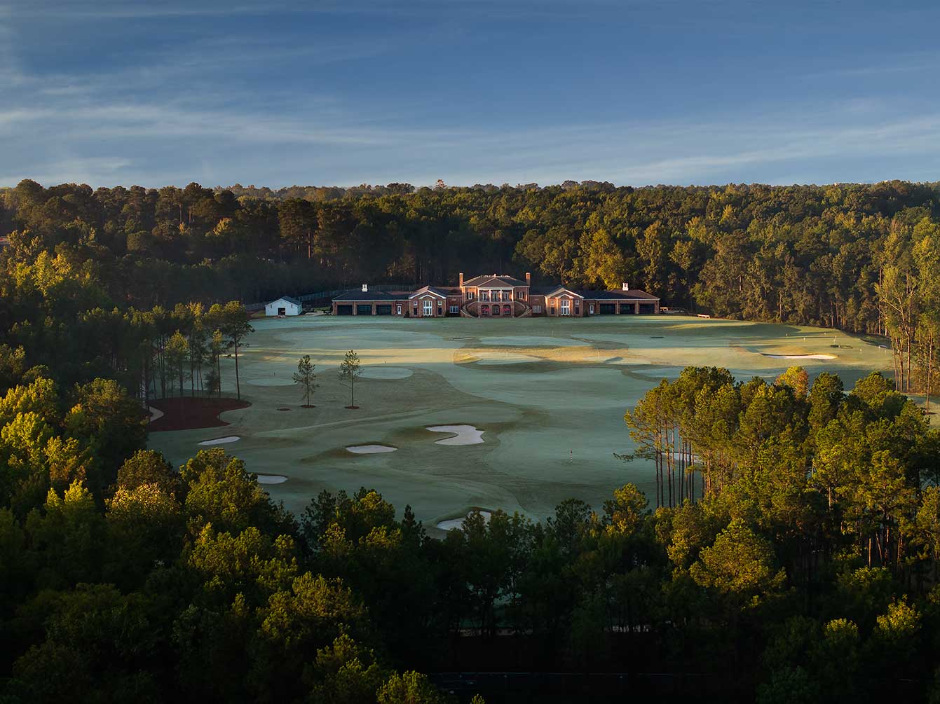
University of Alabama Golf Practice Facility | Early MorningDavis Architects / Kuo Diedrich Chi / War Construction
University of Alabama Golf Practice FacilityDavis Architects / Kuo Diedrich Chi / War Construction
University of Alabama Golf Practice Facility | EntryDavis Architects / Kuo Diedrich Chi / War Construction
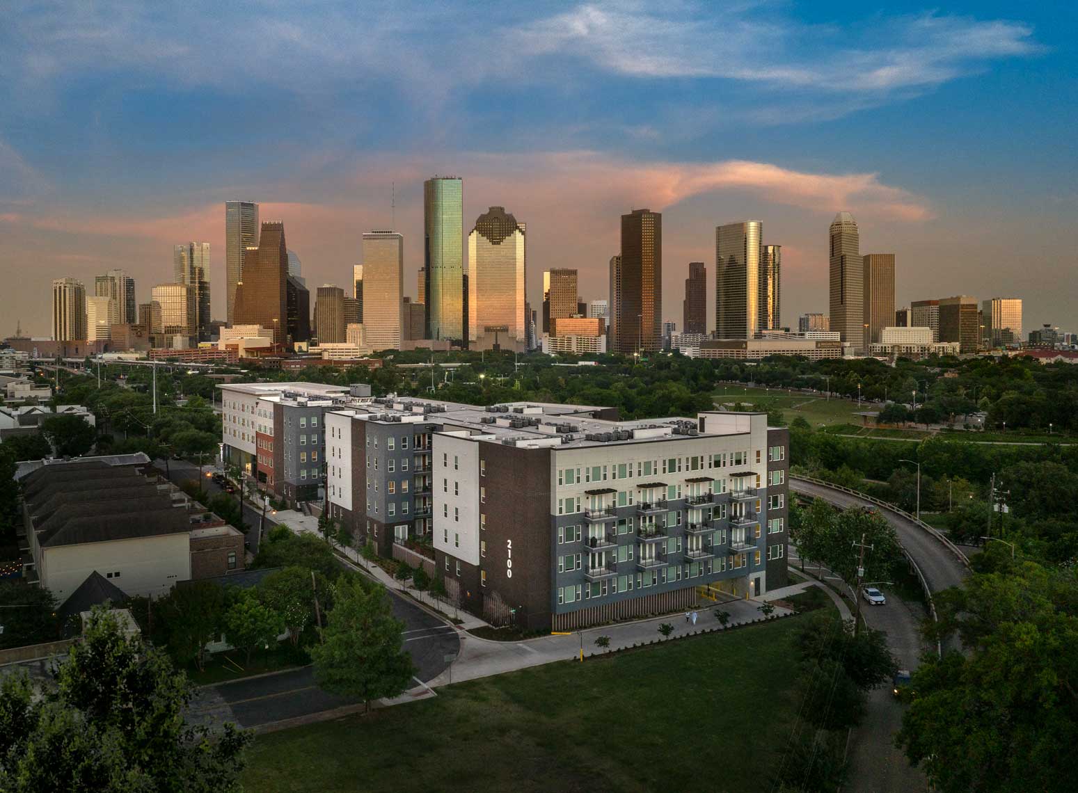
Columbia Senior at 2100 Memorial | Context with Downtown HoustonJHP Architecture / Columbia Residential
Columbia Senior at 2100 Memorial | Signage DetailJHP Architecture / Columbia Residential
Columbia Senior at 2100 Memorial | Bayou ContextJHP Architecture / Columbia Residential
Columbia Senior at 2100 Memorial | Context with Downtown HoustonJHP Architecture / Columbia Residential
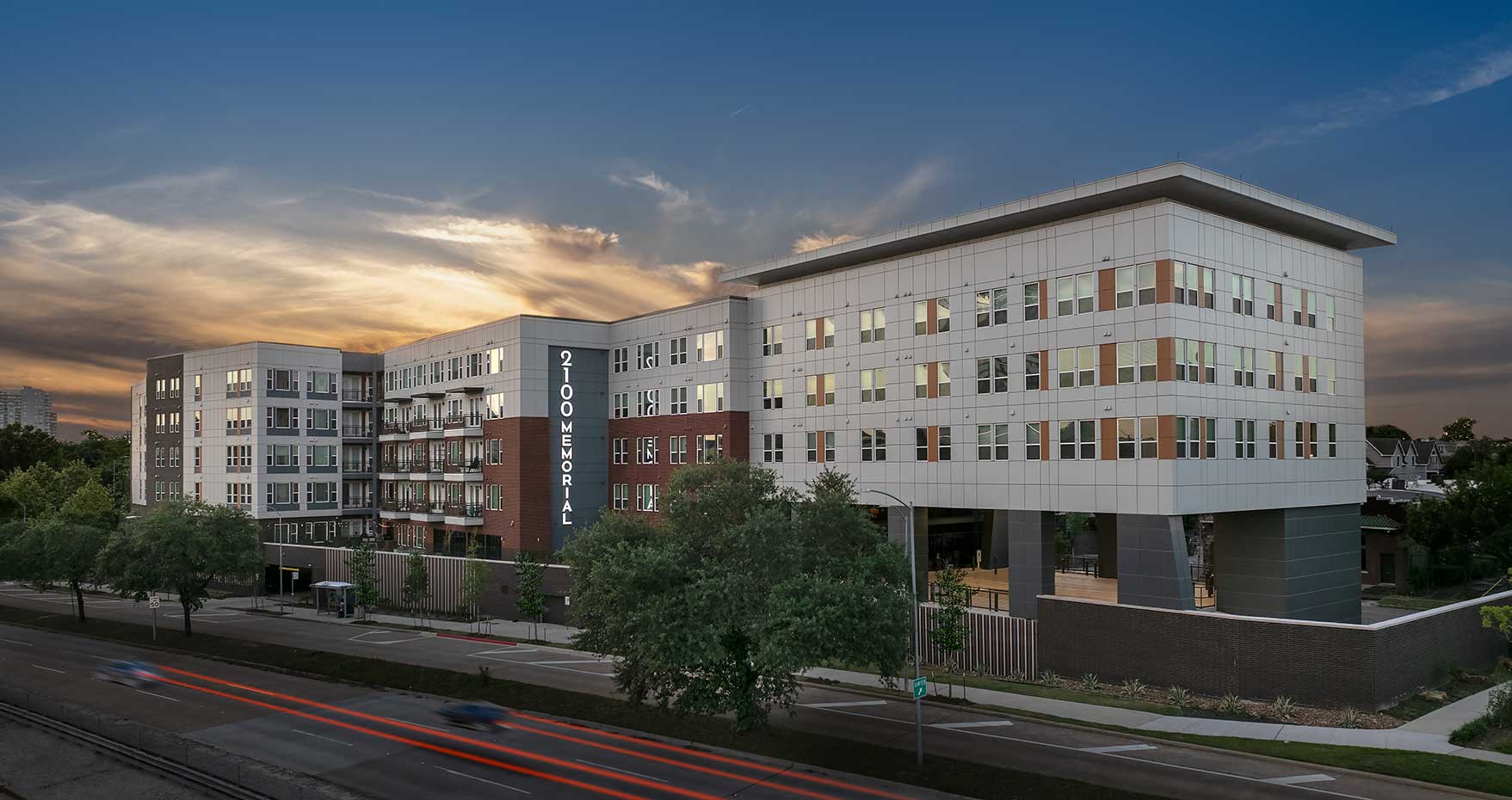
Columbia Senior at 2100 Memorial | Twilight PortraitJHP Architecture / Columbia Residential
Westminster Athletic FieldsMcMillan Pazdan Smith Architects
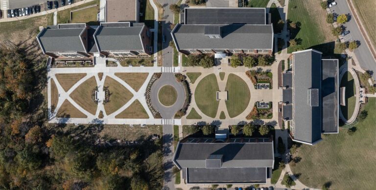
Columbia State Community College | Orthogonal ViewBauer Askew Architecture
Columbia State Community CollegeBauer Askew Architecture
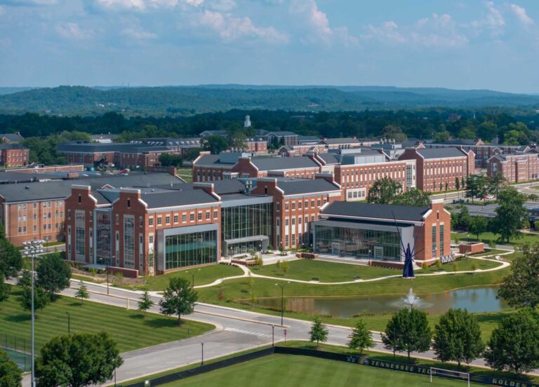
Tennessee Technical College Engineering & Lab Sciences BuildingsBauer Askew Architecture / Upland Design Group
Georgia Highlands College Baseball FieldsMcMillan Pazdan Smith Architecture
Rokeby Condominium Restoration Project | Early MorningGoodwyn Mills Cawood LLC
Denmark Branch Library | LandscapeMcMillan Pazdan Smith Architecture
From the earliest days of photography, humans have been attempting to devise ways to lift cameras into the air to capture new vantage points of the world below. As early as 1858, industrious photographers began to tether cameras to hot-air balloons, rockets, and kites in an attempt to establish a unique perspective of our world. In 1903, a pioneering German businessman even used cameras attached to carrier pigeons to obtain an elevated “birds-eye” point-of-view.
Today’s visual artist has a far more refined and practical set of tools which allows them to create unique and interesting views of all subject matter, particularly architectural structures. No kites or pigeons required. Today, drone photography is a valuable tool which allows the architectural photographer to explore their vision untethered to the terra firma, opening new opportunities for creativity. Breaking the bonds of gravity allows one to illustrate the full scope of a project or show an interesting context to a building’s surroundings.
Experienced architectural photographers know that the same sensitivity to composition, exposure, and use of light must be applied to any image, whether the camera is four feet or four hundred feet off the ground. We, of course, have the education and certification to fly drones commercially. More importantly we have the experience to know that technology is little more than a conduit to allow us to communicate ideas more effectively for our clients.
While technology has changed markedly throughout the years, the human desire to view our world from above has been a constant. Through elevating our drone, we attempt to elevate the effectiveness of our architectural photography.
Architects don’t just design buildings, they
shape environments. Aerial drone photography allows us to:
• Capture the dynamic relationship between a structure and its surroundings (landscape, streets, neighboring buildings, skylines)
• Highlight site planning, building orientation, and integration with natural or urban surroundings
• Help our clients better display how their projects fit into their environment
Aerial drone photography complements
our clients’ marketing. By combining artistic vision, context, and storytelling intent into visually compelling content, we help our clients showcase their design intent.
Compelling aerial visuals
make marketing presentations engaging. Aerial perspectives in still or video format are naturally eye-catching, providing:
capture the full scope of a location, highlighting features often missed from the ground. They deliver high-quality visuals, while offering a safe, efficient, and cost-effective way to access and showcase hard-to-reach areas